Burnette Aerial
Professional Aerial Imaging & Geospatial Data Collection
Providing aerial photography, construction documentation, orthomosaic mapping, 3D reality capture, and geospatial data collection for contractors, engineers, developers, landowners, and public agencies throughout Coastal Georgia and the Southeast.
FAA Part 107 Certified • Fully Insured
Services Include
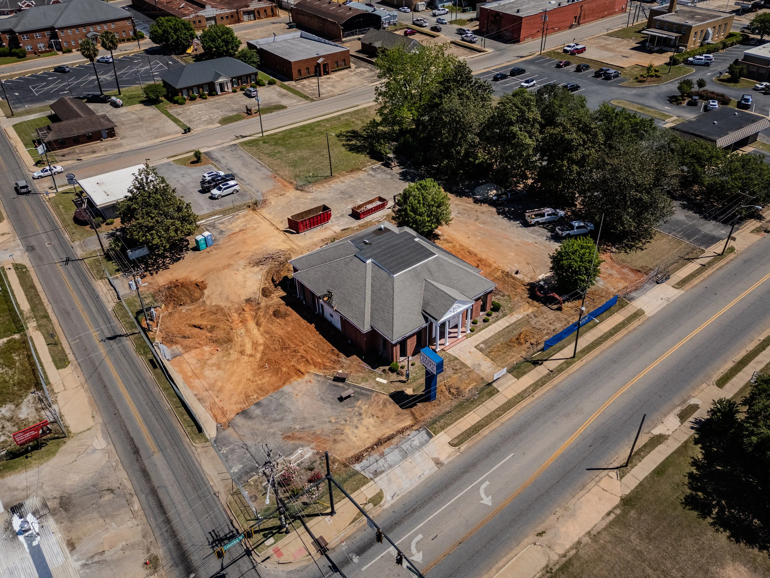
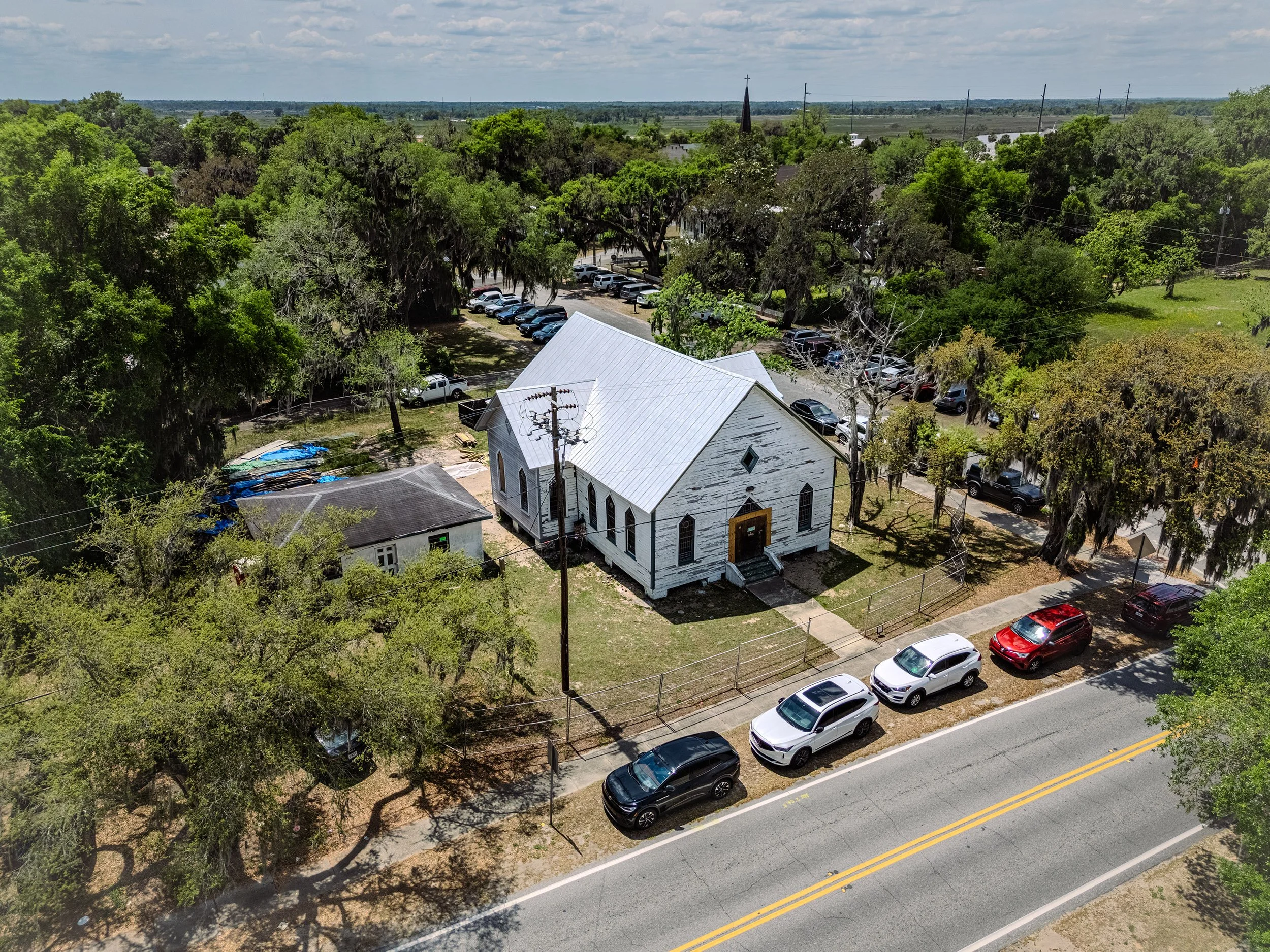
Construction Documentation: Repeatable aerial photography and video for project progress, stakeholder updates, and historical documentation.
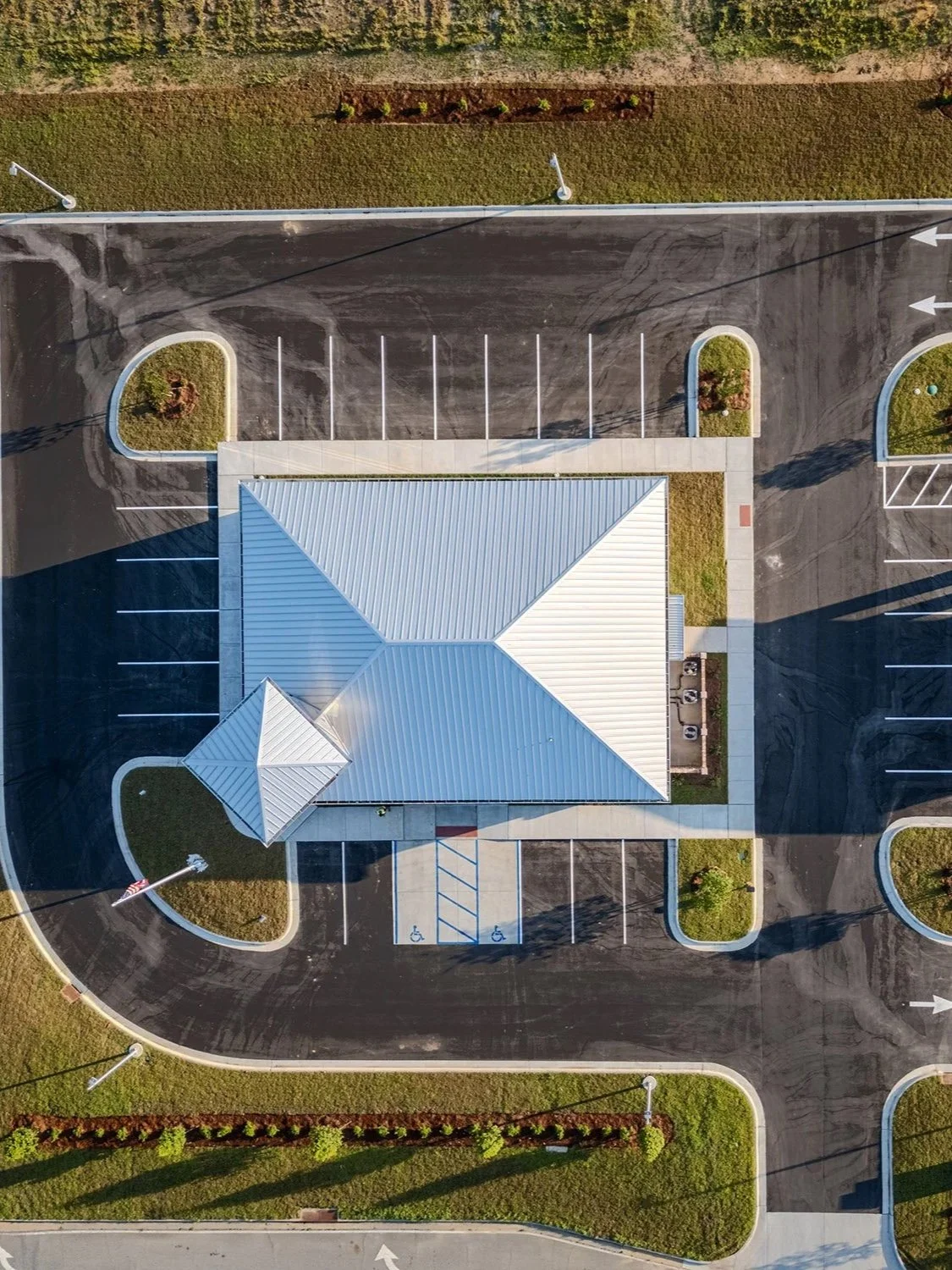
Mapping and Reality Capture: High resolution orthomosaics, digital surface models, terrain models, contours, and 3D photogrammetric models for planning, visualization, and project documentation.
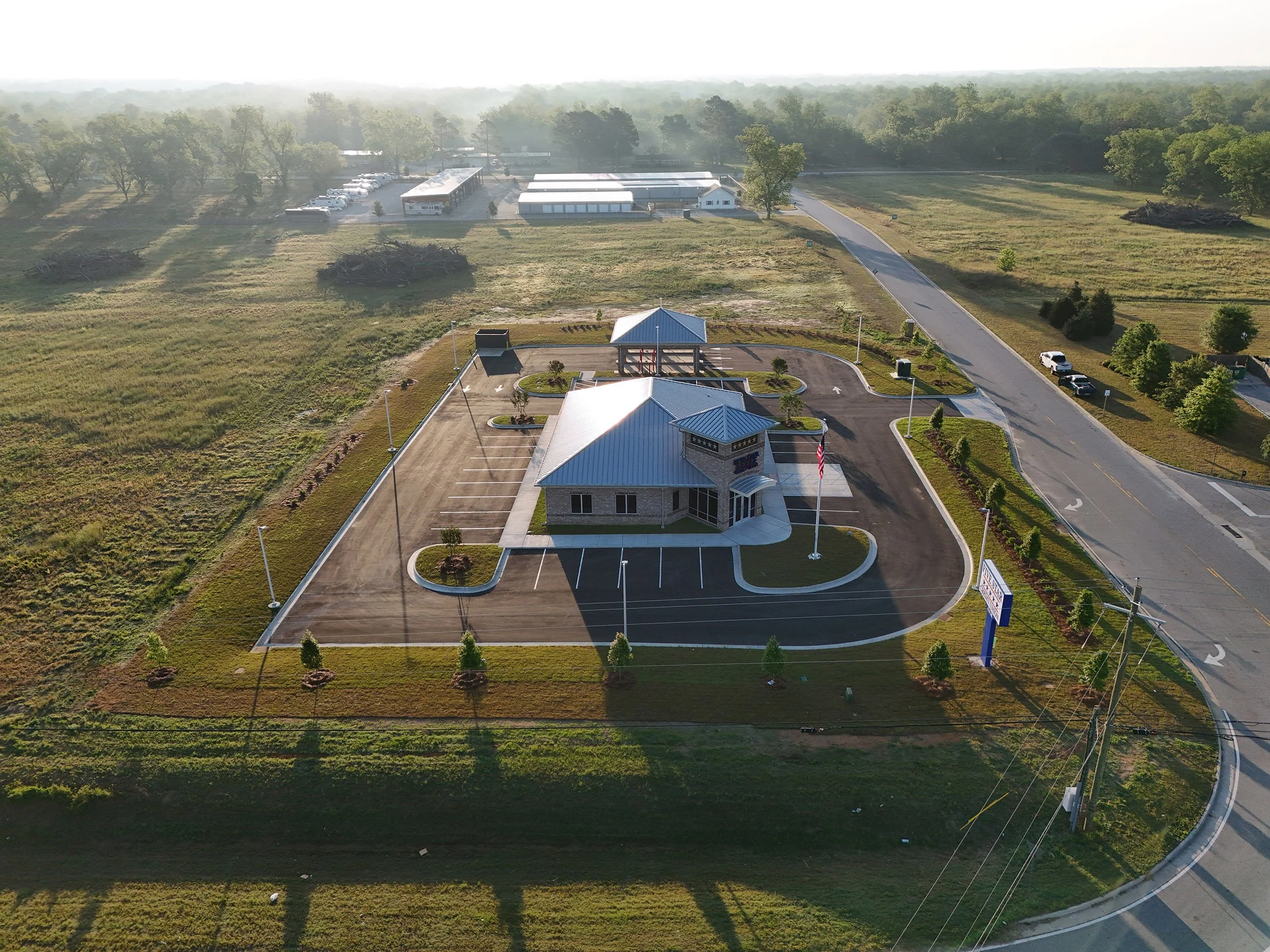
Infrastructure and Property Inspection: High-Resolution imagery for roofs, commercial properties, construction sites, and infrastructure where aerial access improves safety and efficiency.
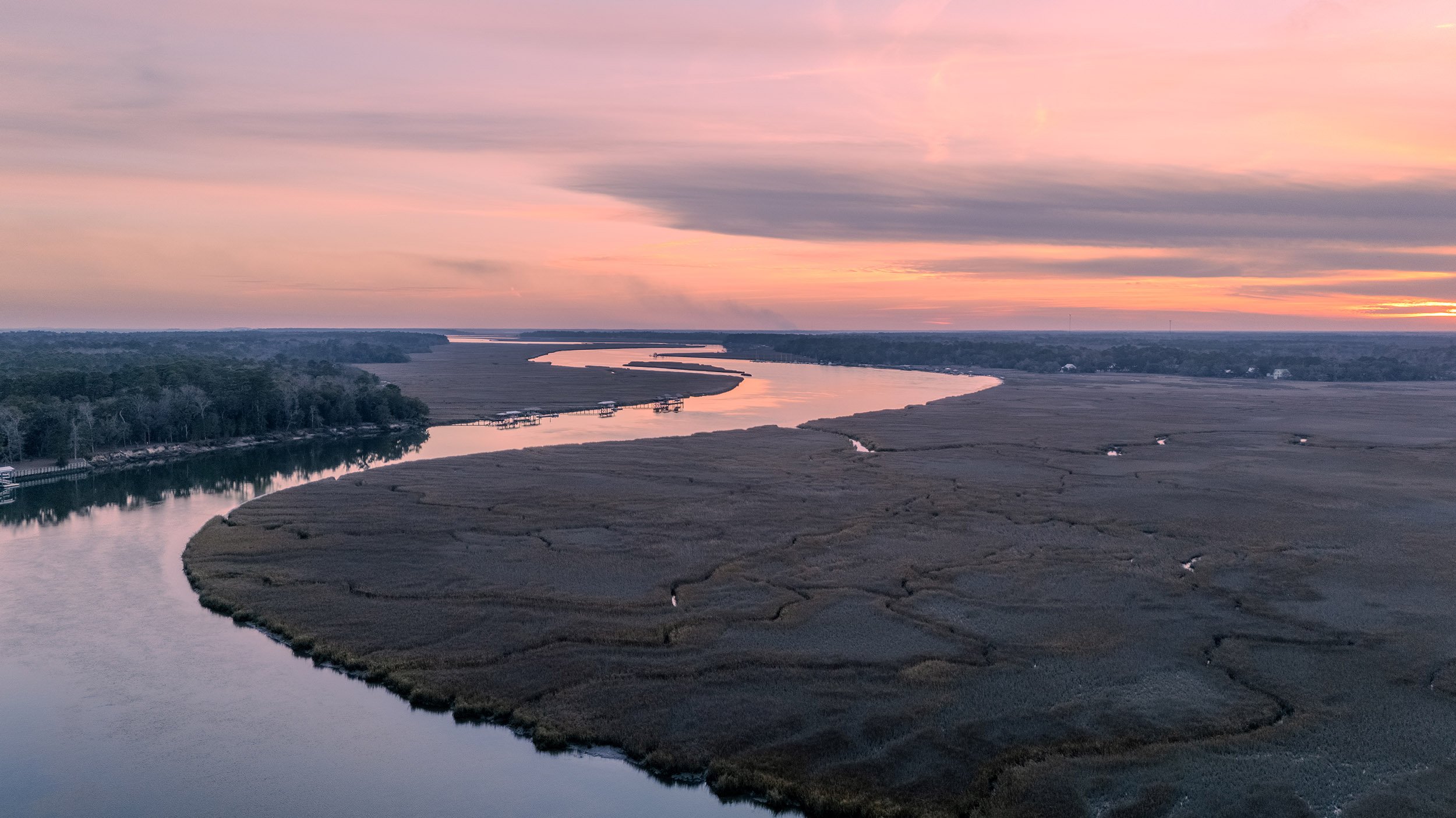
Marketing Media: Professional aerial photography, video and interior imagery for commercial real estate, hospitality, tourism, and business marketing.
Professional Notice: Burnette Aerial provides aerial imaging and geospatial data collection services. We do not perform boundary surveys or other services requiring licensure as a Professional Land Surveyor. Data may be collected in support of licensed surveyors, engineers, and other qualified professionals.

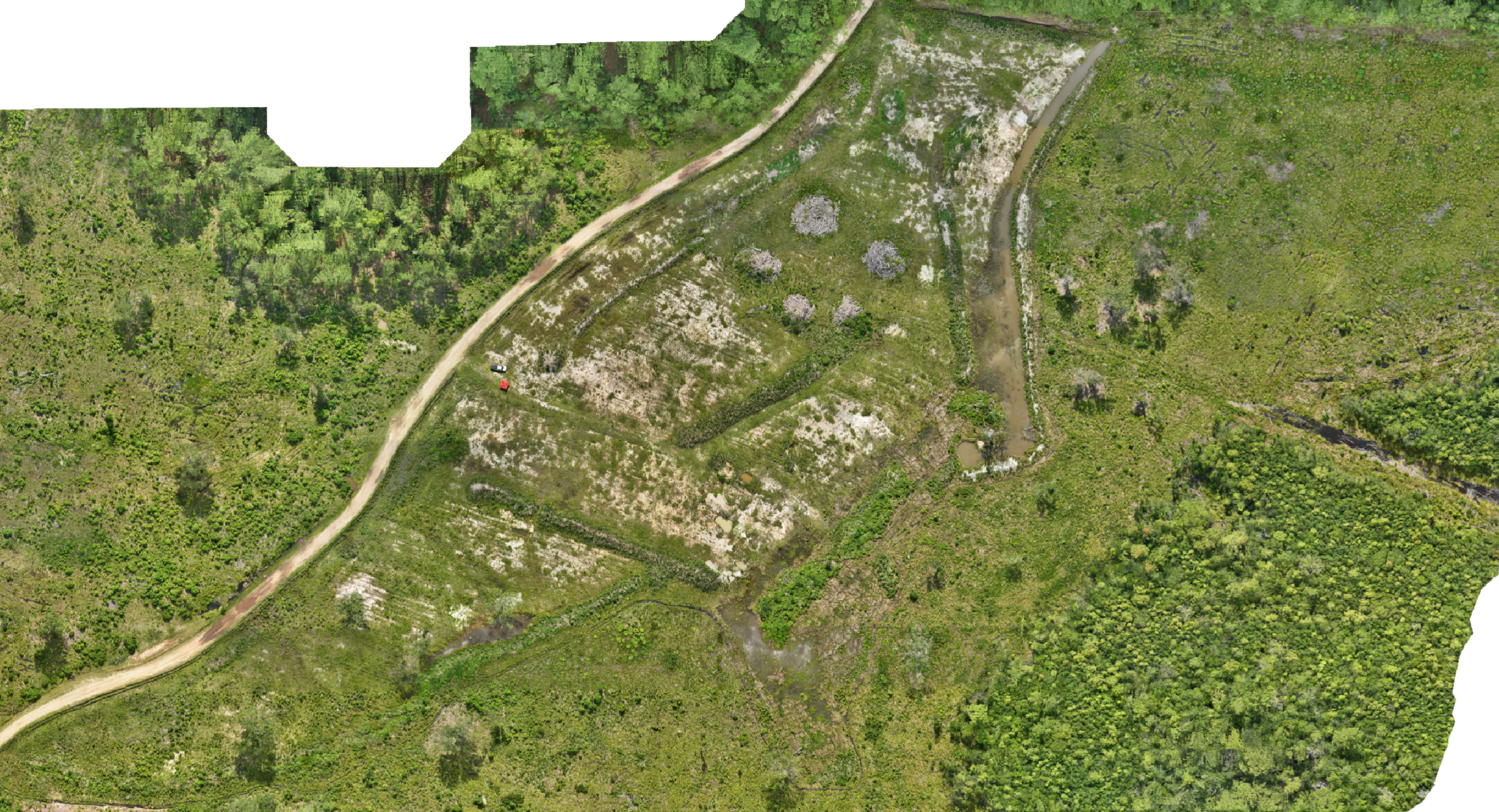
Featured Mapping Project
60 Acre RTK-Supported Aerial Mapping
This project demonstrates Burnette Aerial's capability to acquire and process aerial imagery into geospatial deliverables for planning, documentation, and visualization. Project outputs included:
High Resolution Orthomosaic
Digital Surface Model (DSM)
Digital Elevation Model (DEM)
Terrain Contours
Hillshade
Slope Analysis
3D Photogrammetric Model
Interactive project viewer coming soon…
Equipment Used
Aircraft: DJI Matrice 4E
GNSS: Emlid Reach RS3 with RTK positioning
Processing: DJI Terra, QGIS, and the Adobe Creative Cloud suite of Apps
Industries Served
Construction
Engineering
Surveying Support
Land Development
Timber and Forestry
Commercial Real Estate
Local Government
Property Owners
360 degree video and tours are also available as part of progress update packages.
About
Burnette Aerial provides professional aerial imaging and geospatial data collection using enterprise-grade drone technology. We work with construction professionals, engineers, landowners, and businesses to deliver accurate visual documentation and mapping products that support planning, communication, and informed decision-making.